Canada, one place at a time
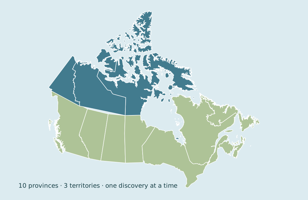
Find all 13 provinces and territories. Follow neighboring shapes, meet the islands, and remember their names in small steps.
13 stops
Start with a coastal clue. Connect a few neighbors. Before you know it, these shapes will have familiar names.
Start finding CanadaOne new place · two short clues · no timer
Every subject keeps its own progress. Start with finding the places, then try a connection that interests you.
Find all 13 provinces and territories. Follow neighboring shapes, meet the islands, and remember their names in small steps.
Find thirteen capital cities, connect each to its province or territory, and notice islands, coasts and mainland.
Read the clues in all thirteen provincial and territorial flags, compare look-alikes, and find their homes on the map.
Explore the neighbors of all thirteen places. Learn why a shared side, a corner and a shore across water are different.
Visit one remarkable place in every province and territory. Follow real photographs from coastal forests and prairie to historic cities and Arctic mountains.
After a few checks, a short memory review helps you revisit earlier clues. Later reviews build recall gradually. You can explore as a guest and save to an adult account whenever you choose.